
Services
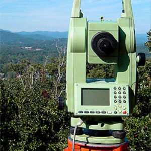
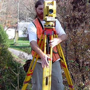
A survey of your property's boundary will establish or re-establish the property lines according to its legal description. Any improvements that affect the use of the property.. such as structures, roads and drives, utilities, and fences.. are located. Easements and encroachments are also shown, as well as any limitations that are imposed on the property by local regulations. Corner monuments are recovered, or are replaced if they are missing. A map showing all of this information is prepared for the client.
The purpose of a topographic survey is to obtain data about the elevation of the land, as well as its natural and man-made features. From this information, a three dimensional map can be prepared which shows contours, road grades, water courses, ditches, etc. Topographic surveys can be tailored to suit the needs of the client, and can be done independently or in conjunction with a boundary survey. Topographic surveys are a valuable tool for preparing site plans, subdivisions, or erosion control plans.
These surveys vary from the division of a parcel of land into two smaller tracts, to a large acreage that will be divided for a planned community. We provide surveying services for the subdivision of land throughout the entire process. This usually includes a boundary and topographic survey of the land to be divided. We work closely with the property owner, the developer, and local government to ensure that vision of the project is met while adhering to all necessary regulations. After the subdivision is developed and approved, the new parcels of land are monumented and the map is recorded.
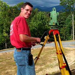
Construction surveys establish the location and alignment of buildings, roads, sidewalks, walls, utilities, and other man-made structures. We work with architects, engineers, and contractors through the construction process, and provide services that include design staking at all stages, slope staking, grade staking, and final as-built surveys.
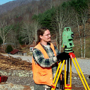
After construction projects are completed, an as-built survey is performed to locate all modifications that were made, and to ensure that they were completed to specification. This usually entails a complete survey of the site to confirm that the structures, utilities, and roadways proposed were built in the proper locations, and meet all local guidelines. A final map of the land and its improvements is usually produced for the client.
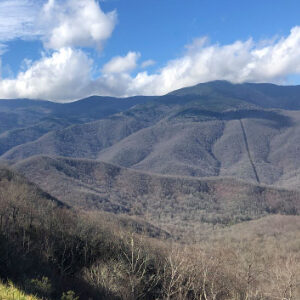
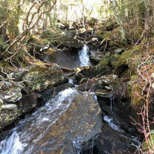
High Country Surveyors believe strongly that the land that we work with is our most precious resource. We are proud to call the Blue Ridge Mountains our home, and are committed to assisting landowners and agencies with environmental surveys. We conduct surveys for the creation of conservation easements.. voluntary agreements that limit certain types of uses or prevents development from taking place on a piece of property. We also assist in the development of erosion and sediment control plans, as required by local regulations, to designate how development will effect the movement of storm water and sediment across the construction site.
We can assist homeowners, developers, insurers, and realtors in flood plain matters including staking, evaluation and determination. We visit the site and obtain the necessary data to complete an Elevation Certificate as required for flood determination. We can also assist in preparing a Letter of Map Amendment (LOMA) if it is determined that the property can be removed from the flood plain.